Published .
Myrtle Avenue is a street to the south of Heathrow, just off the Great South West Road. Heathrow's own spotting page says you'll often find fellow plane enthusiasts there. You can get to it by bus on routes 203, H25 and H26, and Hatton Cross station is on the Piccadilly line. If you drive, check the signs before you leave the car.
Fast answer: Take a bus that stops on Myrtle Avenue (the 203, H25 or H26), or the Piccadilly line to Hatton Cross. If you drive, check the council's maps and the signs first. People live on this street, so keep it quiet and tidy.
This guide goes deeper on this one spot. For the other places to watch from, see our guide to Heathrow plane spotting locations.
Where is Myrtle Avenue?
Heathrow describes it as lying to the south of the airport, just off the Great South West Road. A notice from the London Borough of Hounslow calls it Myrtle Avenue, Feltham. It's an ordinary street with houses on it.
How to get to Myrtle Avenue by bus and Tube
By bus. TfL lists a stop called Myrtle Avenue. It's served by routes 203, H25 and H26, and it's for buses heading towards Hatton Cross or Hounslow West. Use TfL's journey planner on the day so it gives you the right stop and direction.
By Tube. Hatton Cross is on the Piccadilly line only, in Zones 5 and 6, according to Transport for London (TfL). From there, a bus to Myrtle Avenue is the simple option, and TfL's journey planner will show you which one.
Parking near Myrtle Avenue
Read the signs before you leave the car. That's Hounslow's own advice: "You should always check the signs to make sure you are allowed to park."
A few things the council says that are worth knowing:
- Some roads are in a controlled parking zone, or CPZ. Entry boards face traffic coming into the zone and show when it operates.
- You can check whether an address is inside a zone on the council's CPZ map, and look up restrictions on a particular street on its map of traffic orders. Both are linked from Hounslow's controlled parking zones page.
- A zone can have different kinds of bay, such as resident permit holder, pay and display, and loading bays, so a space that looks free may not be one you can use.
Check the map before you set off, and if the signs say no, don't park there. If you'd rather leave the car at home, the bus is the easy way.
Being a good visitor
People live on this street, so a few habits go a long way:
- Keep your voice down and don't block driveways or footpaths.
- Take your rubbish home with you.
- Follow the parking signs, even if others aren't.
- Stay on public ground and out of anywhere fenced or marked as private.
Heathrow also points keen photographers to Heathrow Airport Watch, a membership scheme run with the Met Police for aviation enthusiasts. Members get a photo identity card and lanyard, so police and airport security can recognise them.
After the spotting
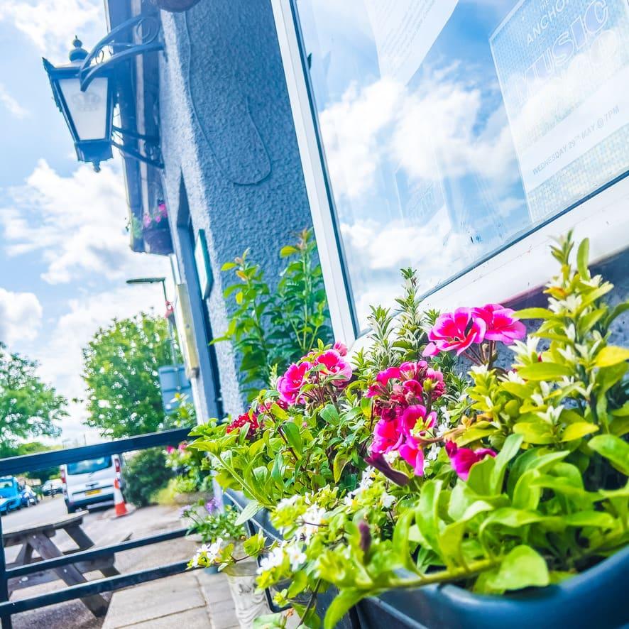
When you want to sit down, The Anchor is a pub in Stanwell Moor with a 64-seat beer garden under the flight path, free parking and a full food and drink menu. Bus route 442 stops by the pub on Horton Road and runs from Terminal 5. Check our opening times before you set off. Plane spotting at The Anchor has the detail.
Sources
All checked on 22 November 2026: